Skip to content
Home
About
Services
Contact
Home
About
Services
Contact
Request a Quote
Our Services
Comprehensive Drone & Surveying Solutions
Our services are dynamic, flexible, and tailored to meet the diverse needs of our clients. Explore our full range of capabilities below.
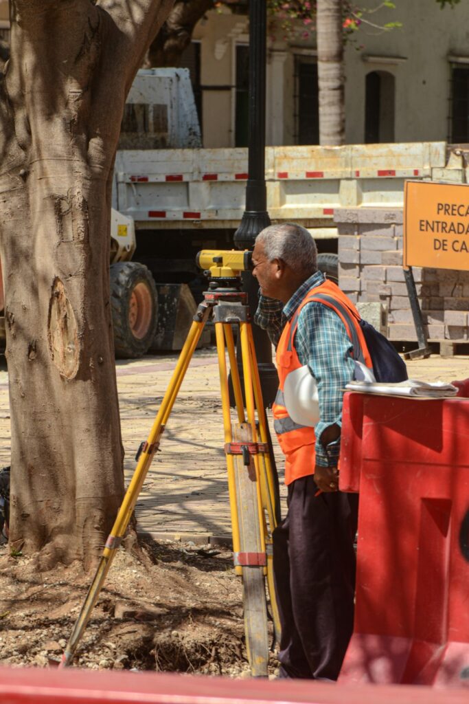
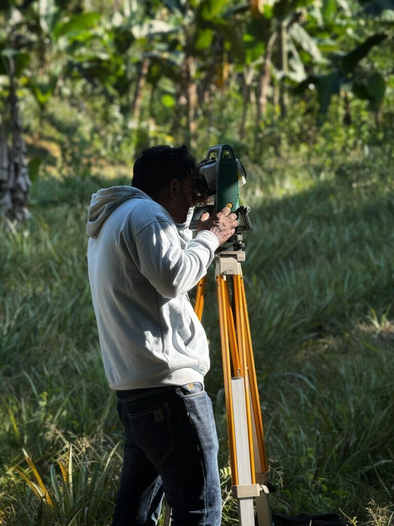
Cadastral / Boundary Surveys
Accurate determination of property boundaries for sales, construction, and dispute resolution.
Learn more
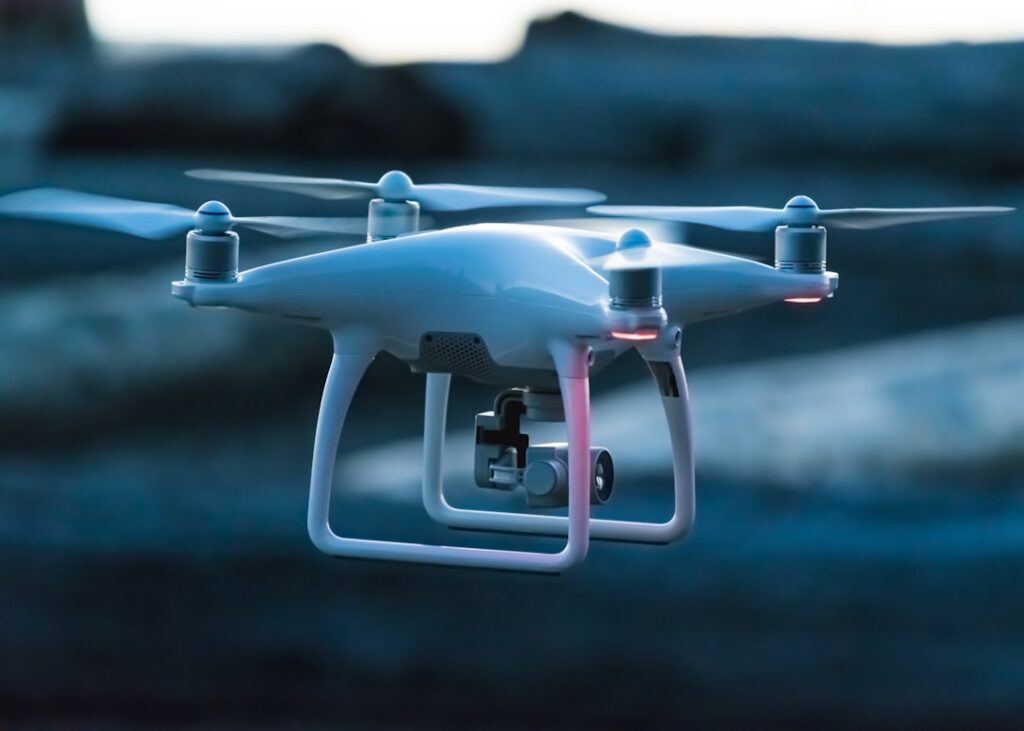
Drone Services
Enterprise-grade UAS technology for aerial mapping, inspection, and data capture across
Learn more
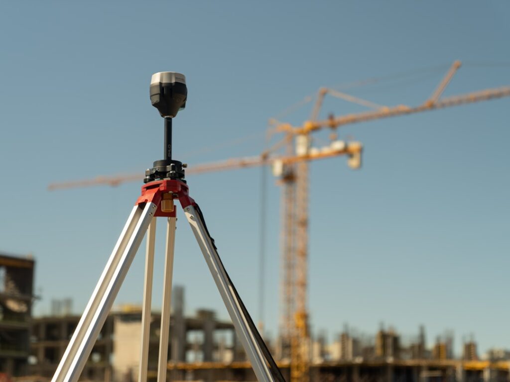
Topographic and As-Built Surveys
Capture natural and man-made features, elevations, and contours for detailed planning and design.
Learn more
Engineering Surveys
Critical data for designing and constructing infrastructure like roads, bridges, and buildings.
Learn more
TCPD Approvals
Navigate Town and Country Planning Division approvals for land development and construction.
Learn more
Photogrammetric Mapping
Aerial and satellite image
interpretation to create accurate maps and 3D models.
Learn more
Volumetric and Stockpile Surveys
Measure and calculate material quantities for inventory management, billing, and project planning.
Learn more
Condominium Surveys
Define spatial boundaries of individual units, shared areas, and overall property for legal registration.
Learn more
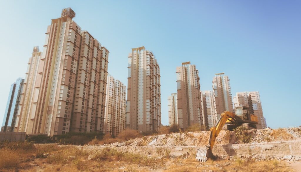
Subdivision Surveys
Divide larger parcels into smaller lots for residential, commercial, or industrial development.
Learn more
Draughting and Mapping Services
Detailed plans, drawings, and maps
for planning, design, and legal documentation.
Learn more
Pipeline Surveys
Surveys for pipeline route planning, alignment, and as-built documentation in oil and gas sectors.
Learn more
Need a Custom Solution?
Our team strategically finds the most effective and economically
practical solutions for each project. Contact us for a tailored quote.
Request a Quote